Spatial Vision
-
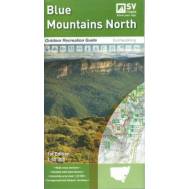
Blue Mountains North Map
$14.95Outdoor Recreation Guide 1:50,000Blue Mountains National Parks, Yellomundee Regional Park LOCAL TOWN..
-
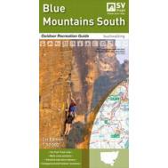
Blue Mountains South Map
$14.95Outdoor Recreation Guide 1:50,000Kanangra-Boyd and Blue Mountains National Parks, Burragorang State ..
-
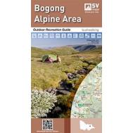
Bogong Alpine Area
$14.95SCALE: 1:50,000: Falls Creek, Mt Hotham, Dinner Plain and Mt Bogong For Bushwalking, Cross-country s..
-
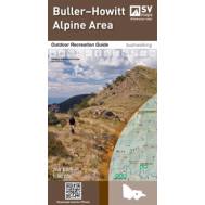
Buller-Howitt Alpine Area
$14.95SCALE: 1:50,000; Mt Buller, Mt Stirling, Mt Howitt, Wonnangatta Station. For bushwalking, Cross-coun..
-
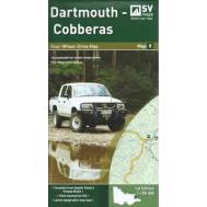
Dartmouth - Cobberas Map 5
$11.95SCALE: 1:100,000COVERAGE: Omeo, Mt Anderson Peak, Thredbo, Mt Benambra, Lake Dartmouth IDEAL FOR: Fo..
-
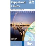
Gippsland Lakes
$14.95SCALE: 1:100,000 Nicholson, Mitchell, Tambo and Latrobe River Entrance, Loch Sport, Metung, Lakes En..
-
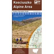
Kosciuszko Alpine Area
$14.95SCALE: 1:50,000 COVERAGE: Khancoban, Jindabyne, Thredbo, Perisher Valley IDEAL FOR: ..
-
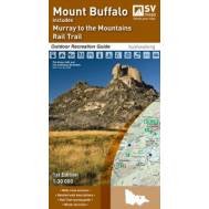
Mount Buffalo Area
$14.95Scale: 1:30,000; Mount Buffalo National Park, Myrtleford, Porepunkah and Lake Buffalo. For Bushwalki..
-
Murray River Access: Albury-Wodonga to Mulwala
$9.95Book 3 Size - 594 x 210 mmDesigned for visitors touring the area, the booklet has information regar..
-
Murray River Access: Barmah to Torrumbarry Weir
$9.95Size - 594 x 210 mm Designed for visitors touring the area, the booklet has information regarding r..
-
Murray River Access: Blanchetown/Swan
$9.95Book 15 Size - 594 x 210 mm Designed for visitors touring Blanchetown, Swan Reach, Nildottie, Walker..
-
Murray River Access: Gunbower Island to Murrabit
$9.95Size - 594 x 210 mmDesigned for visitors touring the area, the booklet has information regarding r..
-
Murray River Access: Jingellic to Murray Source
$9.95Book 12 Size - 594 x 210 mmDesigned for visitors touring the area, the booklet has information rega..
-
Murray River Access: Lake Hume to Tallangatta
$9.95Book 6 Size - 594 x 210 mm Designed for visitors touring the area, the booklet has information rega..
-
Murray River Access: Mannum to Murray Mouth
$9.95Book 16 Size - 594 x 210 mmDesigned for visitors touring Mannum, Murray Bridge, Tailem Bend, Milang,..
-
Murray River Access: Mildura to Neds Corner
$9.95Book 9 Size - 594 x 210 mm Designed for visitors touring the area, the booklet has information regar..
-
Murray River Access: Murrabit to Tooleybuc
$9.95Book zz Size - 594 x 210 mmDesigned for visitors touring the area, the booklet has information regar..
-
Murray River Access: Neds Corner to Paringa
$9.95Book 10, Size - 594 x 210 mmDesigned for visitors touring the area, the booklet has information rega..
-
Murray River Access: Renmark to Waikerie
$9.95Book 13, Size - 594 x 210 mm Designed for visitors touring the area, the booklet has information reg..
-
Murray River Access: Tooleybuc to Wemen
$9.95Size - 594 x 210 mm Designed for visitors touring the area, the booklet has information regarding re..
-
Murray River Access: Ulupna Island to Denliquin
$9.95Book 11, Size - 594 x 210 mm Designed for visitors touring the area, the booklet has information reg..
-
Murray River Access: Waikerie to Blanchetown
$9.95Size - 594 x 210 mm Designed for visitors touring the area, the booklet has information regarding ..
-
Murray River Access: Wemen to Mildura
$9.95Size - 594 x 210 mm Designed for visitors touring the area, the booklet has information regarding re..
-
Murray River Access: Yarrawonga-Mulwala to Ulupna Island
$9.95Size - 594 x 210 mm Designed for visitors touring the area, the booklet has information regarding re..
-
Murray Sunset Map 1
$11.95SCALE: 1:150,000COVERAGE: Mildura, Hattah, Border Track, Murray Sunset National ParkIDEAL FOR: Four-..
-
Northern Grampians Outdoor Recreation Guide
$14.95Scale: 1:50,000 Halls Gap, Dadswells Bridge, Zumstein, Moora Moora Reservoir, Wartook Reservoir, and..
-
Otways Central, Walks and Waterfalls
$14.95Scale: 1:50,000The new map of the central Otways Range provides detailed topographic infor..
-
Otways East; Surf coast
$14.951:50 000, Torquay and Lorne insets; Detailed walks descriptions and recreation site locations...
-
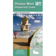
Otways West; Shipwreck Coast
$14.95This new map of the Shipwreck Coast (Otways West) provides detailed topographic information to ..
-
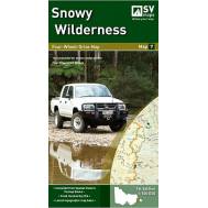
Snowy Wilderness Map7
$11.95SCALE: 1:100,000COVERAGE: Orbost, Buchan, Lakes Entrance, Marlo, Snowy River National Park IDEAL FOR..
-
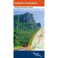
Southern Grampians Outdoor Recreation Guide
$14.95Scale: 1:50,000 Dunkeld, Wannon, Glenthompson (Southern end of Grampians National Park) For Bushwalk..
-
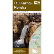
Tali Karng Moroka
$14.95The newest addition to the series, this guide contains a detailed map of the region at 1:50,000 scal..
-
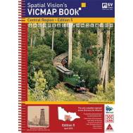
VicMap Books Central Region
$95.004th Edition 25cm wide and 34cm high IDEAL FOR: Four wheel driving, camping, bushwalking, mountain bi..
-
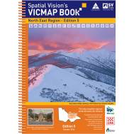
VicMap Books North East Region
$95.005th Edition 25cm wide and 34cm high IDEAL FOR: Four wheel driving, camping, bushwalking, mountain bi..
-
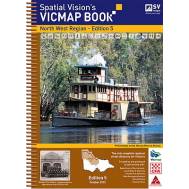
VicMap Books North West Region
$95.004th Edition 25cm wide and 34cm high 'Unlike many map books, this one has everything needed by the se..
-
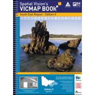
VicMap Books South East Region
$95.003rd Edition 25cm wide and 34cm high IDEAL FOR: Four wheel driving, camping, bushwalking, mountain bi..
-
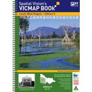
VicMap Books South West Region
$95.005th Edition 25cm wide and 34cm high IDEAL FOR: Four wheel driving, camping, bushwalking, mountain bi..
-
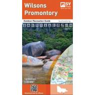
Wilsons Promontory
$14.951:50 000Wilsons Promontory National Park, Wilsons Promontory Marine National Park, Corner Inlet Mari..
-
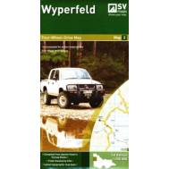
Wyperfeld Map 2
$11.95SCALE: 1:150,000COVERAGE: Murrayville, Nhill, Patchewollock, Border Track, Wyperfeld National Park, ..


