4 Wheel Driving Maps
A range of maps to get you right off the beaten track.
Refine Search
-
$12.95
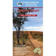
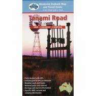
Meridian Maps proudly presents our latest addition to the Westprint Map series – Corner Country – Fe..
-
$11.95
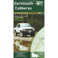
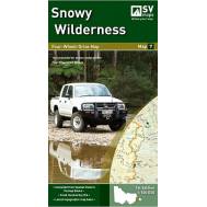
SCALE: 1:100,000COVERAGE: Omeo, Mt Anderson Peak, Thredbo, Mt Benambra, Lake Dartmouth IDEAL FOR: Fo..
-
$11.95
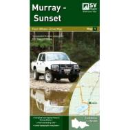
SCALE: 1:150,000COVERAGE: Mildura, Hattah, Border Track, Murray Sunset National ParkIDEAL FOR: Four-..
-
$14.95
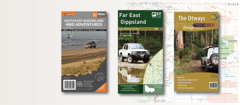
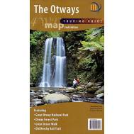
1:100,000 scale map covering the entire Otway Ranges from Anglesea to Princetown. Detailed roads an..
-
$11.95
SCALE: 1:100,000COVERAGE: Orbost, Buchan, Lakes Entrance, Marlo, Snowy River National Park IDEAL FOR..
-
$14.95
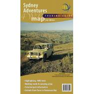
1:500,000 scale map covering the best four wheel driving regions north and south of Sydney. From Ta..
-
$14.95
For the first time the entire Pyrenees region is available on a single double-sided 1:50,000 scale m..
-
$14.95
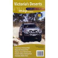
1:350,000 scale map covering the all the Mallee parks of Victoria from the Little Desert through to..
-
$14.95
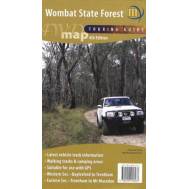
Double-sided 1:50,000 scale map covering the entire Wombat State Forest from Daylesford through to ..
-
$11.95
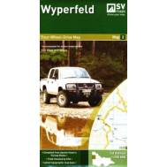
SCALE: 1:150,000COVERAGE: Murrayville, Nhill, Patchewollock, Border Track, Wyperfeld National Park, ..


