
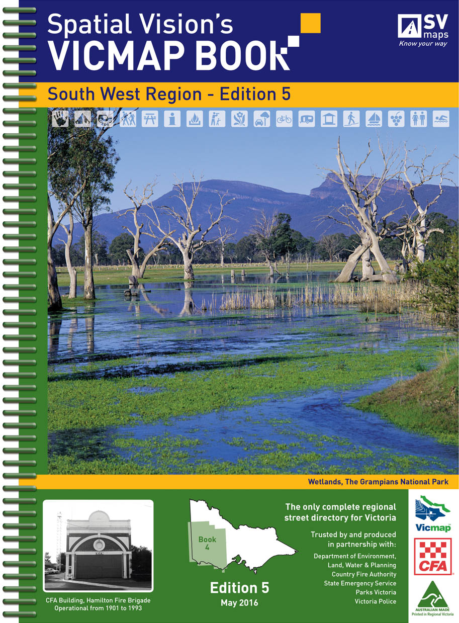
VicMap Books South West Region
5th Edition 25cm wide and 34cm high
IDEAL FOR: Four wheel driving, camping, bushwalking, mountain biking, fishing, business travel and car touring
MAJOR NATIONAL AND STATE PARKS: Great Otway, Port Campbell, Grampians, Kooyoora, Little Dessert, Wyperfeld, Cobboboonee, Mount Eccles, St Arnaud, Dergholm, Cape Nelson, Lower Glenelg, Mount Arapiles – Tooan, Paddys Ranges, Mount Buangor, Enfield, Black Range, Mount Napier, Langi Ghiran, Mount Richmond.
SCALE: South West Region: 1:100,000 Selected areas: 1:50,000 Township maps: 1:20,000
Note: In most places this edition extends at least 20kms into South Australia.
COVERAGE: South west from the South Australian border to Mount Gambier, Edenhope, Nelson, Casterton, Coleraine, Balmoral, Portland, south to Port Fairy, Warnambool, Hamilton, Penhurst, Dunkeld, south east to Apollo Bay, Colac, Camperdown, Lake Bolac, east to Halls Gap, Ararat, Beaufort, Scaresdale Smythesdale, Maryborough, Carisbrook, north east to Stawell, St Arnaud, Charlton, north to Horsham, Dimboola, Warracknabeal, Hopetoun and west to Nhill, Kaniva, Bordertown.