
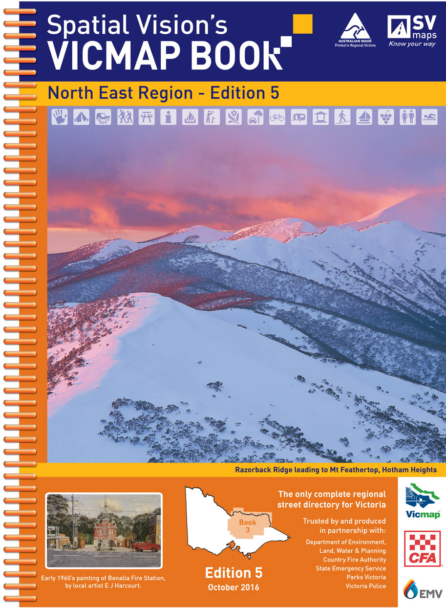
VicMap Books North East Region
5th Edition 25cm wide and 34cm high
IDEAL FOR: Four wheel driving, camping, bushwalking, mountain biking, fishing, business travel and car touring
MAJOR NATIONAL AND STATE PARKS: Alpine, Barmah, Cathedral Range, Chiltern-Mt Pilot, Dargo, Kinglake, Lake Eildon, Mitta Mitta, Mount Buffalo, Mount Buller, Murray Valley, Rushworth-Heathcote, Tallangatta, Toolangi, Wabba, Warby-Ovens, Yarra Ranges.
Note: In most places this edition extends at least 20kms into both the New South Wales border.
SCALE: North East Region: 1:100,000 Selected areas: 1:50,000 Township maps: 1:20,000
COVERAGE: Both sides of the Murray River, south west to Riddles Creek, Kinglake, Wallan, Kilmore, Broadford, Seymour, Puckapunyal, Euroa, south to Marysville, Healesville, Yarra Glen, Alexandra, Mansfield, Mount Buller south east to Whitfield Chesnut, Wandilgong, Mount Beauty Tawonga South, Bright, Hotham Heights north east to Myrtleford, Beechworth, Allans Flat Osbourne Flat, Baranduda, Albury Wodonga, north to Wangaratta, Corowa Wahgunyah, north west to Benalla, Cobram Barooga, Tocumwal, Finley and west to Shepparton, Tatura, Kyabram, Echuca, Rochester.