
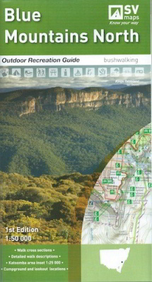
Blue Mountains North Map
Outdoor Recreation Guide 1:50,000
Blue Mountains National Parks, Yellomundee Regional Park LOCAL TOWNS including Mount Victoria, Blackheath, Medlow Bath, Katoomba, Leura, Wentworth Falls, Lawson, Springwood, Glenbrook.
Information on other activities such as mountain biking, rock climbing, canyoning, canoeing and swimming.
Campground and Lookout locations and GPS references
1:25, 000 map inset of the Katoomba and Wentworth Falls area
Walk cross sections
$19.95