
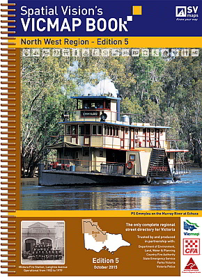
VicMap Books North West Region
4th Edition 25cm wide and 34cm high
'Unlike many map books, this one has everything needed by the serious off road navigator' Robert Pepper, Trackwatch Magazine.'
IDEAL FOR: Four wheel driving, camping, bushwalking, mountain biking, fishing, business travel and car touring.
MAJOR NATIONAL AND STATE PARKS: Big Desert, Greater Bendigo, Hattah - Kulkyne, Heathcote - Graytown, Kooyoora, Murray Sunset, Paddys Ranges, St Arnaud and Wyperfeld.
SCALE: North West Region: 1:100,000 Selected areas: 1:50,000 Township maps: 1:20,000 Bendigo: 1:15,000
COVERAGE: Both sides of the Murray River south-east from the South Australian border to Barmah, south-east to Undera and Tatura, south to Avenel, south-west through Pyalong, Newham, Macedon, Mount Macedon, Woodend, Tylden and Kyneton, west through Malmsbury to Elmhurst, north-west through Navarre, Wallaloo East, Marnoo, Brim and Beulah, west to the South Australian border and north to the Murray River.
Note: In most places this edition extends at least 20kms into both the New South Wales and South Australian borders.