
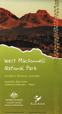
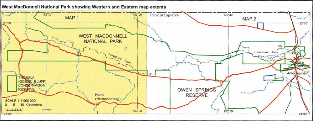
West Macdonnell National Park Map 1
Two 1:100 000 scale topographic maps covering the West MacDonnell Ranges
in the Northern Territory have been produced in collaboration with
Parks Australia, Department of Resources, Energy and Tourism and
Northern Territory government agencies.
The maps are entitled West
MacDonnell Ranges National Park Map 1 (western section) and West
MacDonnell Ranges National Park Map 2 (eastern section) and are part of a
pilot program to map Australia’s Red Centre: Australia’s National
Landscapes . This program is an initiative of Parks Australia to
identify and promote distinctive and inspirational destinations to
domestic and international visitors.
The maps contain satellite images on the reverse side and have applications for:
- Emergency management support and planning
- Navigation and tourist resources in a remote and rugged landscape
- Visitors seeking attractive and informative mementos of the Red Centre.