
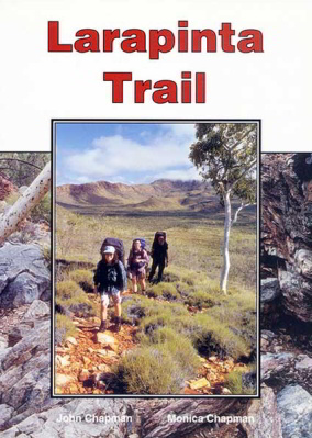
Larapinta Trail
by John & Monica Chapman. 160 pages, 121 colour photographs, 20 topographic maps (one for each days walk)published June 2008. This is an all colour production with full track notes for both directions along the trail. The colour topographic maps and notes have been colour coded for each direction to reduce confusion about which notes are currently being followed. Gradient profiles are provided at the same scale as those used in all our books. Each chapter describes one of the 20 sections of the trail plus the side trip to Glen Helen is included. A large background section includes the history of the area and notes on geology, climate, vegetation and wildlife are included. A comprehensive section on Safety and Trip Planning are provided.
$39.95