
Australian Alps Walking Tracks
Follows the famous Australian Alps Walking track over the highest peak in Victoria, New South Wales and the ACT.
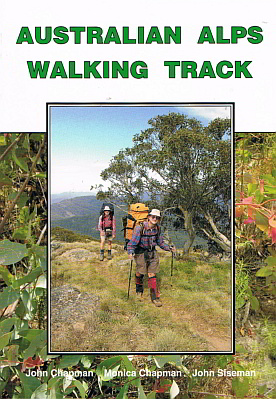
This is the guide for the Australian Alps Walking Track which runs from Walhalla near Melbourne to Canberra. It includes full track notes to the 660km route. An essential companion for anyone intending to walk the track.
The previous three editions were written and published by John Siseman. Monica and John Chapman joined with him to produce the 4th edition. This edition is a major rewrite and major redesign - it is printed in colour throughout and has 51 colour topographic maps for the entire track which will reduce the need for some of the maps where the track crosses map corners. We suggest still taking the major maps as they are more useful in emergencies when you have to leave the track to exit from the area. Gradient profiles are improved with more detail and the 175 colour photographs are placed with the text they illustrate. Where needed, notes are provided for the reverse direction from Canberra to Walhalla and there are 46 specific notes for Southbound walkers - as we walked the reverse direction in 2006 we were able to assess where extra information was needed.