
The Great North Walk - Bushwalking
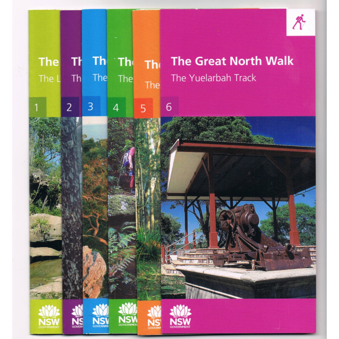
Set of 6 maps in a plastic pouch The Great North Walk is a 250 km path from central Sydney to downtown Newcastle. It is a truly wonderful trail following many tracks through a bewildering array of natural and urban environments.
Formally, the Great North Walk starts in Macquarie Place in central Sydney where a short stroll is followed by the first water section in the form of a ferry from Circular Quay. It’s southern sections pass historic locations and heritage homes in the Sydney suburbs before arriving in the Lane Cove River National Park. The Great North Walk follows this river as far as Thornleigh and then the Berowra Creek before heading through part of the Ku-ring-gai Chase National Park to arrive at Brooklyn, on the Hawkesbury River. Either the train or boat crossing of this majestic river are superb as are The Walk’s middle sections through Brisbane Water National Park and the Ourimbah Valley before reaching the Watagan State Forest … After heading almost due north, the only serious ‘bend’ in the Great North Walk’s route is near Congewai (about 10 km south of Millfield) where the track turns almost due east to follow the Myall Range as far as Teralba, passing many signs of the impressive industrial history of this region. The trail crosses Five Islands Bridge and skirts the northern end of Lake Macquarie, taking the scenic route around the bay’s edge and then through the southern fringes of Newcastle to the official finishing point of The Walk at Queen’s Wharf in central Newcastle, close to the main railway station.