
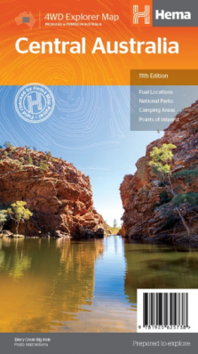
Central Australia
Discover Australia's ancient heartland This waterproof map of the Central Australia region is ideal for
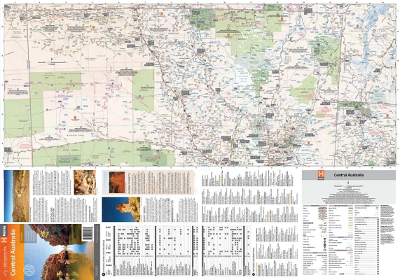
discovering some of Australia's most iconic landscapes. The main map
covers the area around Alice Springs, including Uluru, Kata Tjuta, West
MacDonnell Range, as well as the Simpson Desert and popular tracks such
as the Hay River Track. The map also features additional information related to permits,
useful contacts and historical context surrounding some of the area's
most popular tourist destinations. Edition: 11th Publication Date: 15/04/19 Scale: 1:1,500,000 Folded size (WxHxD): 140mm x 250mm x 2mm Flat size (WxH): 700mm x 1000mm Weight: 0.07kgsCentral Australia Map (11th edition)
Key Features
Key Specifications