
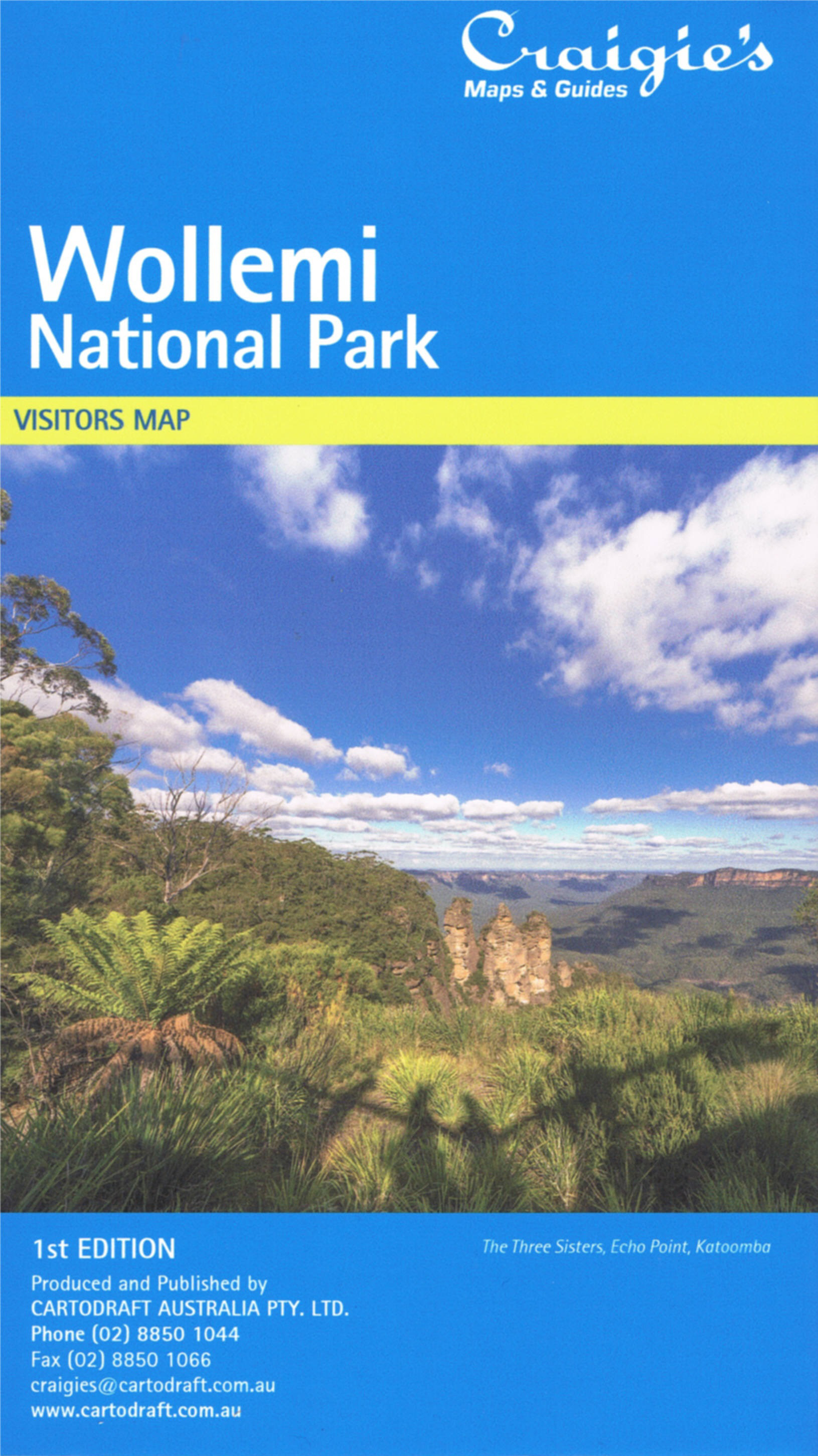
Wollemi National Park
The new Craigies Wollemi National Park Map features Wollemi including Yengo National Park & Gardens of Stone National Park.
This very detailed map includes road, highways, road shields, suburbs and towns. Wilderness, forest and water catchment boundaries are also marked along with a handy grid for the 1:25 000 NSW topographic map coverage.
A very useful map for a complete overview of Wollemi National Park extending from Windsor in the South to Denman in the North.
National Parks Map Scale 1:160,000
Size (unfolded) 700 x 1000mm
$24.95