
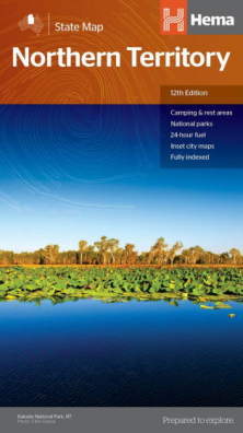
Northern Territory
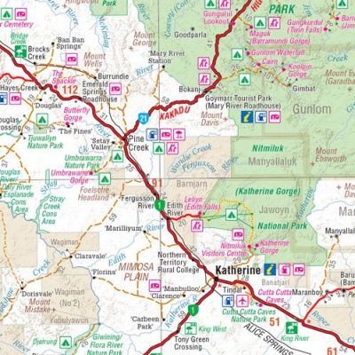
A touring map of the Northern Territory that has camping and rest
areas, 24hour fuel and points of interest marked on the mapping. On the
reverse are CBD maps of Darwin and Alice Springs, a map of the greater
Darwin region and maps of Yulara, Uluru and Kata Tjuta with walking
tracks, points of interest and accommodation included. For trip
planning, there is a national park matrix and contact details for
information centres. Edition: 12th Publication Date: 28/10/19 Scale: 1:1,800,000 Folded size (WxHxD): 140mm X 250mm x 3mm Flat size (WxH): 700mm X 1000mm Weight: 0.09kgsNorthern Territory State Map (12th Edition - now on Waterproof paper)
Key Features
Key Specifications