
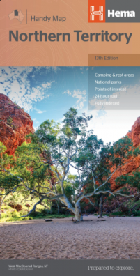
Northern Territory Handy
Northern Territory Handy Map - 13th Edition
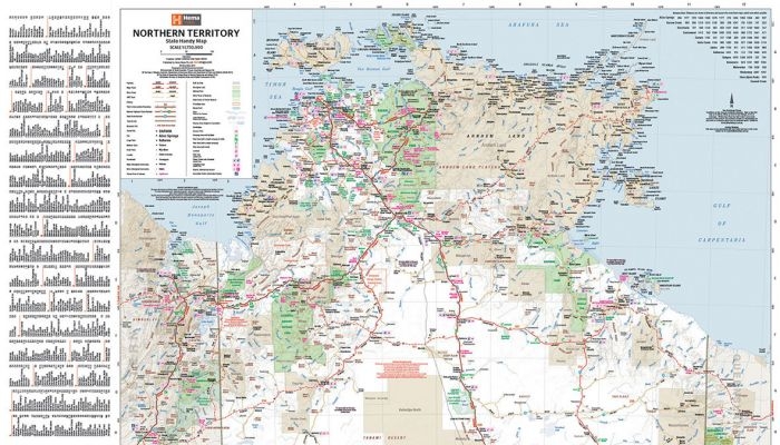
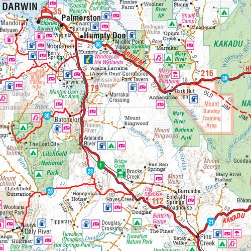
A map of the Northern Territory that has camping and rest areas, 24hour fuel and points of interest marked on the mapping. On the reverse are CBD maps of Darwin and Alice Springs, a map of the greater Darwin region and maps of Yulara, Uluru and Kata Tjuta with walking tracks, points of interest and accommodation included. For trip planning, there is a national park matrix and contact details for information centres.
Key Features
- GPS surveyed roads and tracks
- Fuel stops
- 4WD tracks
- Camping areas
- Historic sites
- Detailed inset maps
Key Specifications
Edition: 13th
Publication Date: 15/04/19
Scale: 1:1,750,000
Folded size (WxHxD): 125mm X 250mm x 3mm
Flat size (WxH): 500mm X 875mm
Weight: 0.05kg
$9.95