
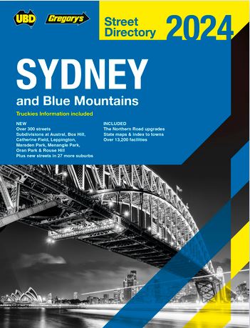
Sydney & Blue Mountains including Truckies
The latest edition of the UBD Gregorys Sydney and Blue Mountains Street Directory
has been extensively revised and updated and also includes useful
information for truckies. Offering clear, comprehensive mapping at the
best scale this directory is an essential tool when navigating your way
around Sydney and its surrounding suburbs. There is a separate section
for the Upper Blue Mountains. You will find all the detail you have come
to expect from a UBD Gregorys product with the latest updates on the
streets you need to navigate. If you have not updated your directory for
3 years you will be missing major new roads and upgrades, the new
airport location and the aerotropolis precinct, new suburbs and over
1200 new streets.
As well as the many new streets included there
are easy to read street indexes with over 57,000 street listings,
suburbs listings including postcodes, and over 13,500 facilities listed.
Also included are CBD maps at a scale of 1:5000 and an index to
buildings for these maps, maps and a list of Sydney & Parramatta
CBD building numbers, a list of bridge clearance heights, Sydney
international and domestic airport terminal maps, Moore Park and Sydney
Olympic Park maps, main road maps and state mapping with an index to
towns. More than ever you can trust your UBD Gregorys street directory
to get you to your destination safely and on time.
Included in
the 2024 edition of the Sydney and Blue Mountains directory are over 300
new streets. Developments at Box Hill, Gables, Gledswood Hills,
Kellyville, Melonba, Moorebank, Tahmoor and Wilton and developments at
over 30 additional suburbs. Also shown are the M4 M8 Link road tunnel
,Light Rail Routes under construction, the Campbell road extension in
Alexandria and ongoing changes around the Western Sydney airport
including The Northern road upgrade, the proposed M12 route and North
South rail line.
With all this information included in the latest edition now is the ideal time to replace your old directory.