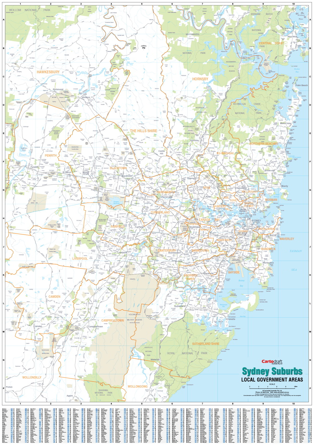
Sydney Suburbs Local Government Areas Supermap
The Sydney Suburbs Local Government Area Supermap has a full suburban index with postcodes, and Local Government Area Council boundaries highlighted on the map. It extends from Brisbane Water in the north, Stanwell Tops in the south, and to Lapstone in the west.
Its large size and clear labels makes it a useful resource for business applications and the office.
Scale: 1:70 000
Size: 980 x 1400mm
$0.00
Available Options
Laminated Wall Map $175.00
Hang Rails $325.00
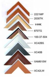
Aluminium Frame 10mm $437.00
Aluminium Frame 35mm $486.00
Wooden Frame $594.00