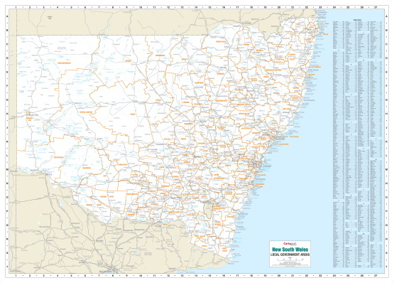
New South Wales Local Government Areas Map
New South Wales Local Government Areas Map. Clearly labelled with an easy-to-read Town Index
Using the most up-to-date local government boundaries this unique map clearly distinguishes the Council areas for the state of New South Wales. With other map details screened back the boundaries and council names are highlighted, but it is still easy to reference main roads, townships and land features. Ideal for business and planning uses it comes laminated, ready to frame or display on a wall in your office.
Size 1400 x 1000mm
$0.00
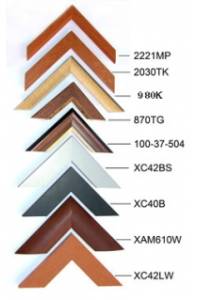
Available Options
Laminated Wall Map $175.00
Hang Rails $395.00
Aluminium Frame 10mm $437.00
Aluminium Frame 35mm $486.00
Wooden Frame $594.00