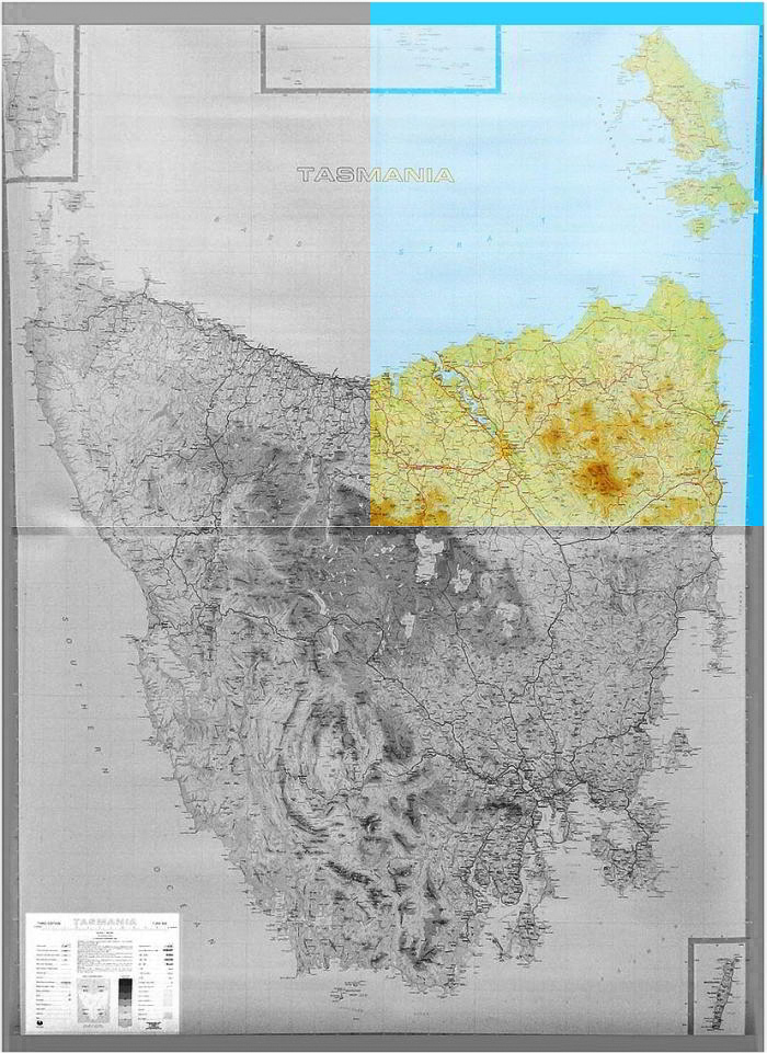
NE Quarter Tasmania Wall Map
Scale 1:250,000, Size 690 x 960mm
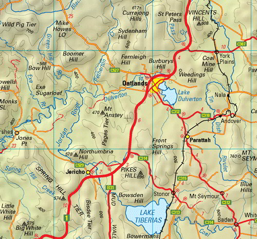
This is one of a series of 4 maps covering all of Tasmania (including Macquarie Island and King Island as insets). Individual maps cover an area of approximately 37,000km2.Roads are symbolised to reflect their surface and importance in the state network. Road distances shown between population centres and major road intersections aid in navigation. The shape of the ground is depicted by a combination of contours (at a 100 metre vertical interval), hypsometric tinting and hillshading.
This series is recommended for regional planners or visitors intending to travel off the common tourist routes. It is popular with drivers, cyclists and people wanting a regional overview of an area.
$0.00
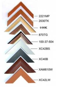
Available Options
Laminated Wall Map $69.95
Hang Rails $219.95
Aluminium Frame 10mm $281.00
Aluminium Frame 35mm $313.00
Wooden Frame $421.00