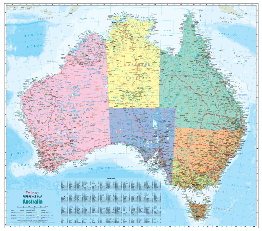
Australia Political Map
Australia Political Map 1150 x 1020(h) mm
This map clearly displays cities, towns, roads and rail networks with the addition of shading of the states as an easy visual reference. Towns index included.
The Political version of this Australia map makes it easy to highlight individual state areas and boundaries. Perfect for students to learn about our country it makes an attractive addition to a wall or classroom.
Scale 1:3 700 000
$0.00
Available Options
Laminated Wall Map $129.95
Hang Rails $254.00
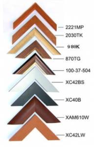
Aluminium Frame 10mm $460.00
Aluminium Frame 35mm $480.00
Wooden Frame $700.00