I have a GPS, why do I need a Topographic map?
There is much confusion about the different kinds of Topographic maps. What can a map tell me? What scale do I want to use? or Do I even need a map if I take a GPS?
Basically the smaller the scale of map displays more detail on the map, and is therefore more useful for navigating on the ground (bushwalking, canoeing etc) ie; A 1:25 000 map is smaller scale than a 1:250 000 scale map. So bushwalkers prefer to use maps with a scale of 1:50,000 or 1: 25 000 if available. A map with a scale of 1:250 000 or 1:100 000 covers a larger area in LESS detail, but is useful for a more general overview.
Topographic maps display on paper exactly what is physically on the ground. Physical features such as rivers, roads, hills, valleys and bridges are all marked on the map. They assist you with planning a journey by identifying the land features you will encounter.
Experienced map navigators always recommend using a map and compass when exploring the outdoors. The use of a GPS unit is becoming more common but is never recommended to replace a map due to reasons of reliability and possible malfunctions. Batteries can go flat, the terrain can make getting a signal difficult, or a signal might not be available.
There are many websites where you can learn about outdoor navigation or orienteering with a map, compass and GPS.
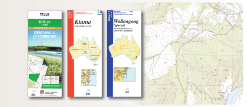
Once you know what you want, browse our website for a wide range of 1:25 000 topographic maps for New South Wales, and 1:250 000, 1:100 000 and 1:50 000 for the whole of Australia and Papua New Guinea.
")