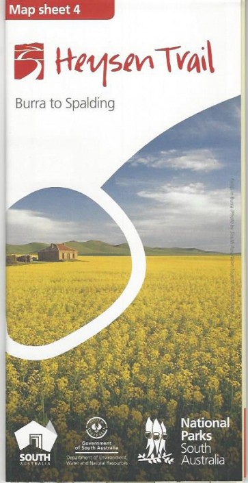
Heysen Trail Map Sheet 4 - Burra to Spalding
| This 1:50,000 scale double-sided topographic
map covers a 130km section of the Heysen Trail across the northern Mt Lofty
Ranges with three sectional maps and associated elevation profiles. A
challenging section of 130km through rugged hills and remote bush tracks into
Caroona Creek Conservation Park and back out into the 'softer' agricultural
country to Spalding. Printed on durable, waterproof and environmentally
friendly 'Stone Paper'. 840mm x 590mm folded to 210mm x 100mm |
$15.00