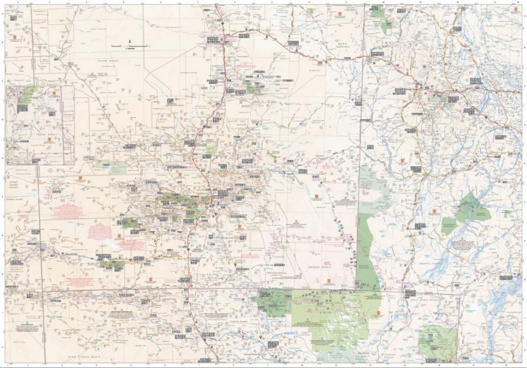
Central Australia Wall Map
Central Australia Wall Map - Wall map of the iconic Central Australia
featuring Hema's customary mapping detail including National Parks,
major road networks, and distances.
A large wall map that features updated mapping of the of Australia's iconic red centre, with numerous points of interest and GPS field-checked 4WD tracks marked on the map. The mapping features tracks, touring information, points of interest, facilities and distances, making it the perfect trip planning tool and reference map.
Key Features- GSP surveyed roads and tracks
- Fuel stops
- 4WD tracks
- Camping and rest areas
- Historic sites
Key Specifications
Edition: 11th
Publication Date: 15/04/19
Scale: 1:1,500,000
Flat size (WxH): 1673 x 1430mm
Weight: 0.45kgs
$0.00
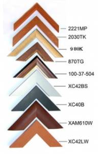
Available Options
Laminated Wall Map $149.95
Hang Rails $299.95
Aluminium Frame 10mm $162.00
Aluminium Frame 35mm $189.00
Wooden Frame $248.00