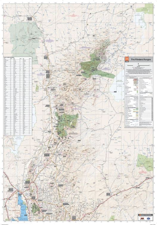
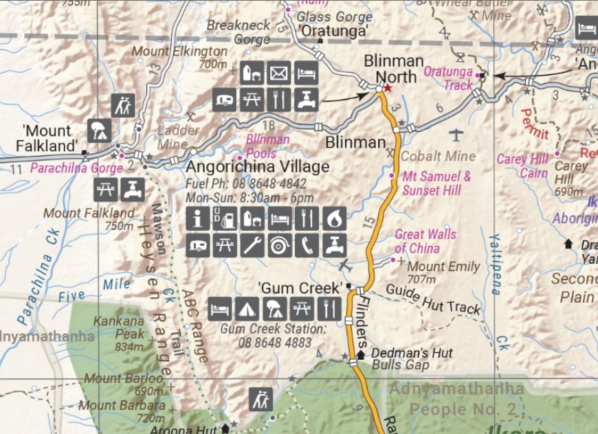
Flinders Ranges Wall Map
Flinders Ranges Wall Map - Wall map of the beautiful Flinders Ranges in
South Australia featuring Hema's customary mapping detail including
National Parks, major road networks, and distances.
A large wall map that features mapping of the Flinders Ranges in 1:280,000 scale. Spanning from the Eyre Peninsula up to Lake Collabonna this incredibly detailed map of covers one of Australia's most iconic regions.
Key Features
- Fully field checked by Hema's Map Patrol
- Featuring the Vulkathuna-Gamon Ranges, Ikara-Flinders Ranges and Mt Remarkable National Parks
- 4WD tracks marked
- Relief shading
- Listing of Towns, Localities and Stations
- Points of Interest and facilities listed (including fuel stops and accommodation)
Key Specifications
Edition: 1st
Publication Date: 03/06/20
Scale: 1:280,000
Flat size (WxH): 1000mm x 1430mm
Weight: 0.45kgs
$0.00
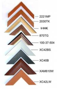
Available Options
Laminated Wall Map $149.95
Hang Rails $239.95
Aluminium Frame 10mm $248.00
Aluminium Frame 35mm $281.00
Wooden Frame $389.00