

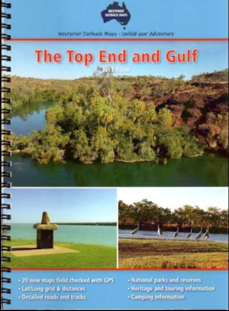
The Top End and Gulf
Westprint Maps The Top End & Gulf Atlas and Guide is an essential companion for anyone travelling through the remote and spectacular landscapes of the Top End and Gulf regions. The atlas covers a vast area from Croydon and Julia Creek in Queensland across to Wyndam and Halls Creek in Western Australia, providing detailed and up-to-date information on roads, tracks, and facilities.
This comprehensive guide includes detailed maps with notes on history, explorers, points of interest, surrounding flora and fauna, and various photos of landmarks. The maps are very clear to read and have road distances, rest areas, caravan parks, and fuel outlets noted, along with Lat/Long grid and GPS coordinates.
With accurate and reliable information, this atlas is an invaluable resource for planning and navigating your journey through this remote and diverse region of Australia. Whether you’re travelling by 4WD, caravan, or camper trailer, Westprint Maps The Top End & Gulf Atlas and Guide is a must-have for any adventurer exploring the Top End and Gulf.
Key Features
20 new double-page maps in a spiral-bound book
over 30 pages of heritage and touring information
over 70 numbered points of interest
covers all the major tourist routes through this area.