Cartodraft adds Local Government Areas to its popular Reference Map
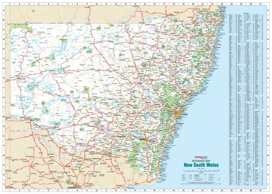
The Cartodraft New South Wales Reference map has just been updated to include local government area names and boundaries. Always a popular map and available in two sizes, this map features clearly displayed towns and cities, major and minor roads, rail lines and major parks with an easy to read index. Perfect for planning travels or business the map is laminated to extend its life and allows you to use permanent markers or stickers on its surface.