New Edition: Forestry Corporation's Lower North Coast Forest Map
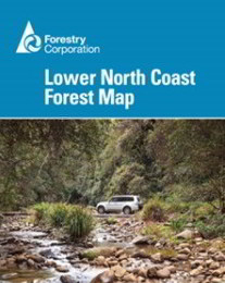
After many months Forestry Corporation has released their new edition of the Lower North Coast Forest Map.
This map covers the Barrington Tops, Bulahdelah and Taree/Manning areas and has been fully researched and updated as of 1 July 2016.
An essential companion for hikers, horse riders, dog owners, mountain bike
riders, four-wheel-drive enthusiasts and those wanting to explore the forests of New South Wales.
The
map shows all regularly maintained roads and trails, walking tracks,
recreation areas and lookouts. The reverse side contains photographs and
commentary on the history of the regions' forests and forestry in the
area, and details of recreation sites, including the must-see sites and a
recreation facilities matrix.
Shop here for the complete range of New South Wales Forest Maps