

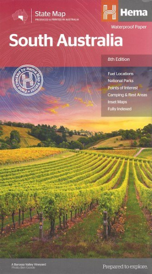
South Australia
A map of South Australia for touring throughout the state that has
camping and rest areas, 24-hour fuel and points of interest marked on
the mapping. On the reverse are CBD, the surrounding region and through
road maps of Adelaide in addition to maps of Flinders Ranges National
Park and the Barossa Valley. Also included are listed national parks and
information centres within South Australia. Edition: 8th Publication Date: 20/10/14 Scale: 1:1,800,000 Folded size (WxHxD): 140mm X 250mm x 3mm Flat size (WxH): 700mm X 1000mm Weight: 0.09kgsSouth Australia State Map (8th Edition, now on Waterproof paper)
Key Features
Key Specifications