
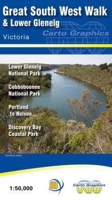
Great South West Walk Lower Glenelg and Discovery Bay Map
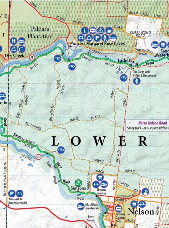
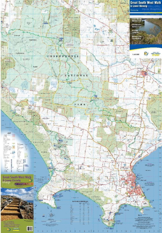
Double-sided 1:50,000 scale topographic map covering the entire Lower Glenelg National Park, Cobboboonee National Park, Mt Richmond National Park and Discovery Bay Coastal Park. The map features the entire 252km’s of the Great South West Walk, from Portland through the Nelson and back including all the designated camp sites. Ideal for canoeing the Glenelg River as far as Dartmoor. Includes the Wood, Wine & Roses Forest Drive and the Great Cobbobonee Horse Trail. Ideal for bushwalkers, day trippers and 4 wheel drivers, canoeists, horse riders.
The 2nd edition of the co-production by Meridian Maps and Carto Graphics.
The new edition has been significantly updated. New tracks, roads, toiurist features and updated campground information maintains this as the premier map for the region. as the official map of the Great South West walk, and with more detail than any other map of the walk, as well as detailed river information for canoeists, this is the must have map for outdoor adventurers in Victoria's South West.