
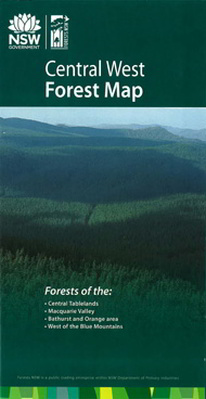
Central West Forest Map
The Central West Forest Map covers the area west of the Blue Mountains, including the Central Tablelands, the Macquarie Valley, Bathurst, Orange and surrounds.The map shows all regularly maintained roads and trails, walking tracks, recreation areas and lookouts. The reverse side contains photographs and commentary on the history of the regions' forests and forestry in the area, and details of recreation sites, including the must-see sites and a recreation facilities matrix. This is a 'must have' for mountain bike riders, four-wheel-drive enthusiasts, bushwalkers, horseriders, dog owners and anyone who wants to explore the region's extensive public forest estate.
$9.95