
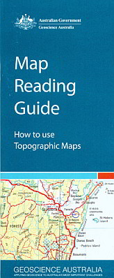
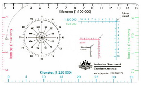

Map Reading Guide and Roamer
The Map Reading Guide is an ideal resource for a wide range of map users and is an excellent and simplistic introduction to topographic maps which are suitable for anyone with an interest in maps.
It contains:
- an explanation of what is a
topographic map
- steps on how to read topographic
maps, including explanations of map scale and how to use a map scale to
calculate distance
- the differences between grid north,
true north and magnetic north
- an explanation of symbols used on
topographic map symbols
- how hills and mountains are shown on
maps using relief shading, hypsometric tinting, and contours
- what a datum is and why there are
different datum
- explanations of the difference
between geographic and grid coordinates
- how to quote grid references from
topographic maps
- how to plan a successful trip using
topographic maps
- using Global Positioning System (GPS)
receivers and magnetic compasses with topographic maps
- using a topographic map to find your
current position and to set a course.
This product is the guide/map roamer card combination.