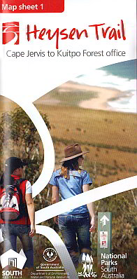
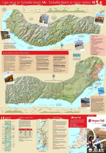
| This 1:50,000 scale
double-sided topographic map covers the southernmost 160km section of the
Heysen Trail in sectional maps with associated elevation profiles. This trail
section features spectacular coastlines, native bushland, pine plantations
and farmland. Wildlife, native flora,and changing scenic views are
encountered as the trail traverses beaches, ranges, river valleys, country
roads, and rolling hills of the Southern Fleurieu Peninsula. The first of
eight maps in the series; Map 1 - Cape Jervis to Kuitpo Map 2 - Kuitpo to
Tanunda Map 3 - Tanunda to Burra Map 4 - Burra to Spalding Map 5 - Spalding
to Wirrabara Forest Map 6 - Wirrabara Forest to Dutchmans Stern Map 7 -
Dutchmans Stern to Mernmerna Creek Map 8 - Mernmerna Creek to Parachilna Gorge |