
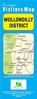
Wollondilly District 4th Edition
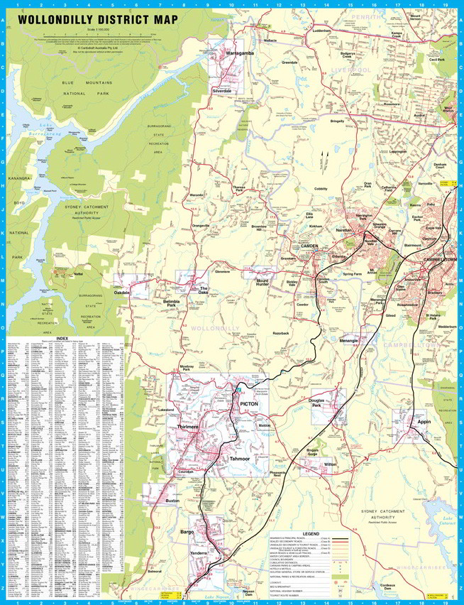
The Wollondilly District Map extends from Warragamba in the North to Yanderra in the South to Lake Burragorang in the West & Campbelltown in the East.
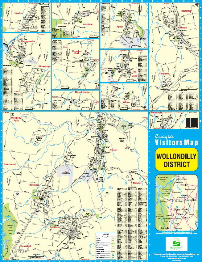
Including detailed Street Maps of Appin, Bargo, Belimba Park, Buxton, Douglas Park, Menangle, Mount Hunter, Oakdale, Picton, Silverdale, Tahmoor, The Oaks, Thirlmere, Warragamba, Wilton & Yanderra.
District Map Scale 1:100,000
Street Map Scale 1:30,000
$8.95