

Melbourne City Streets & Suburbs 362
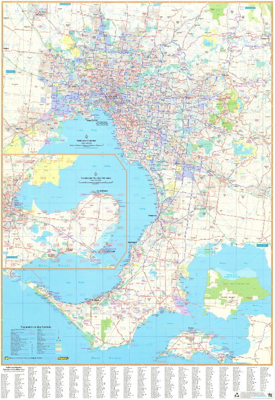
Melbourne City Streets and Suburbs 362 is a folded map combining a Suburban Map 362 of the Greater Melbourne area with a suburb and locality index. Inset of Geelong and the Bellarine Peninsula. Suburban coverage north to Sunbury, east to Healesville, south to Flinders & west to Melton. Also includes suburban coverage for Geelong & the Bellarine Peninsula & Phillip Island & Suburbs & localities index.
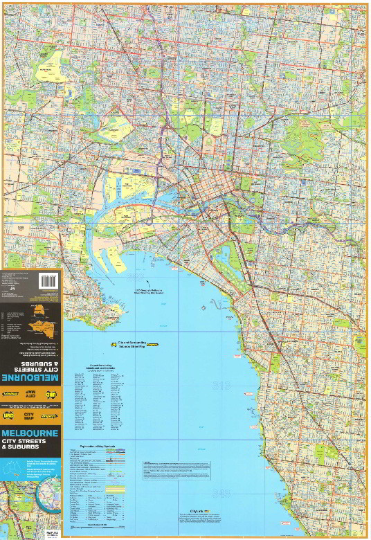
The reverse map has street level mapping for Melbourne & surrounding suburbs & suburbs & localities index. Covers the central suburbs of Melbourne covering from
Essendon in the northwest to Belfield in the northeast and down to
Williamstown in the southwest and over to Sandringham in the southeast.
Scale 1:120,000
Size 690 x 1000 mm
$13.95