
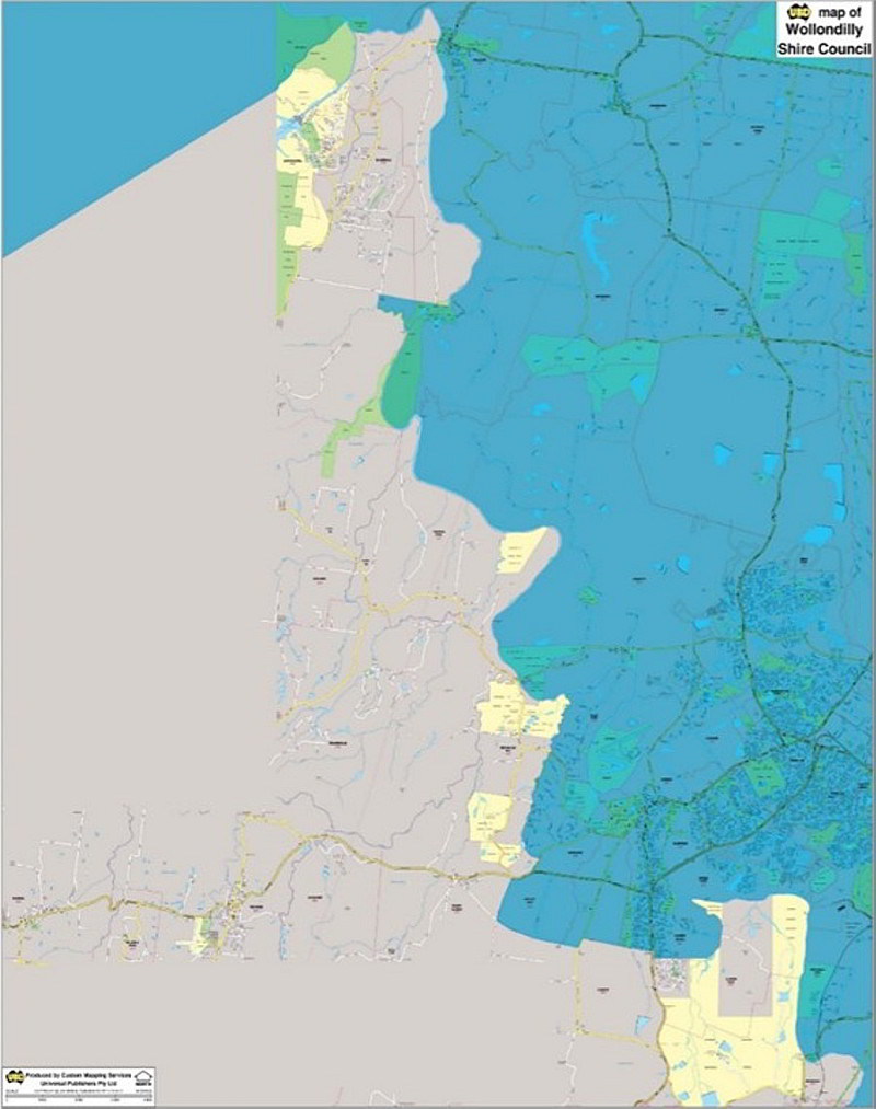
Wollondilly LGA Map
Wollondilly Council Local Government Area (LGA) Map is based on the UBD Gregory's Sydney 2016 Street Directory and the new Wollondilly LGA boundary. Symbols such as hospitals, post offices, schools, service stations and shopping centres all appear.
- Scale of 1:20,000, Size: 1170 x 1500mm
- New LGA boundary as proclaimed on 12 May 2016
- Latest street detailed map
$0.00