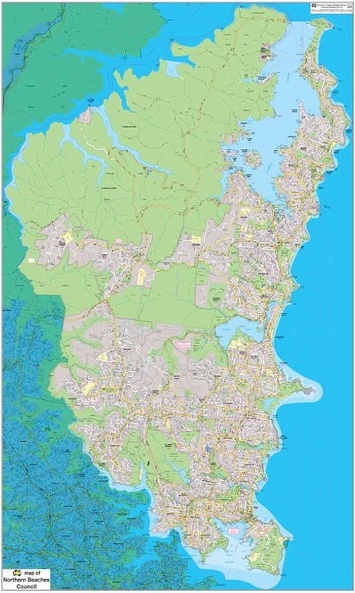
Northern Beaches Council LGA Classic Map 1:20k
The Northern Beaches Council Local Government Area (LGA) Map is based on the UBD-Gregory’s Sydney 2017 Street Directory and the new Northern Beaches Council LGA boundary proclaimed on 12 May 2016. Symbols such as hospitals, post offices, schools, service stations and shopping centres all appear.
- Scale of 1:20 000, Size: 860 x 1440mm
- New LGA boundary as proclaimed on 12 May 2016
- Latest street detailed map
- Also available as 1:15 000, Size: 1145 x 1920mm
$0.00
Available Options
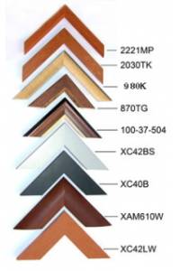
Laminated Wall Map $395.00
Hang Rails $462.00
Aluminium Frame 10mm $899.00
Aluminium Frame 35mm $869.00
Wooden Frame $1,085.00