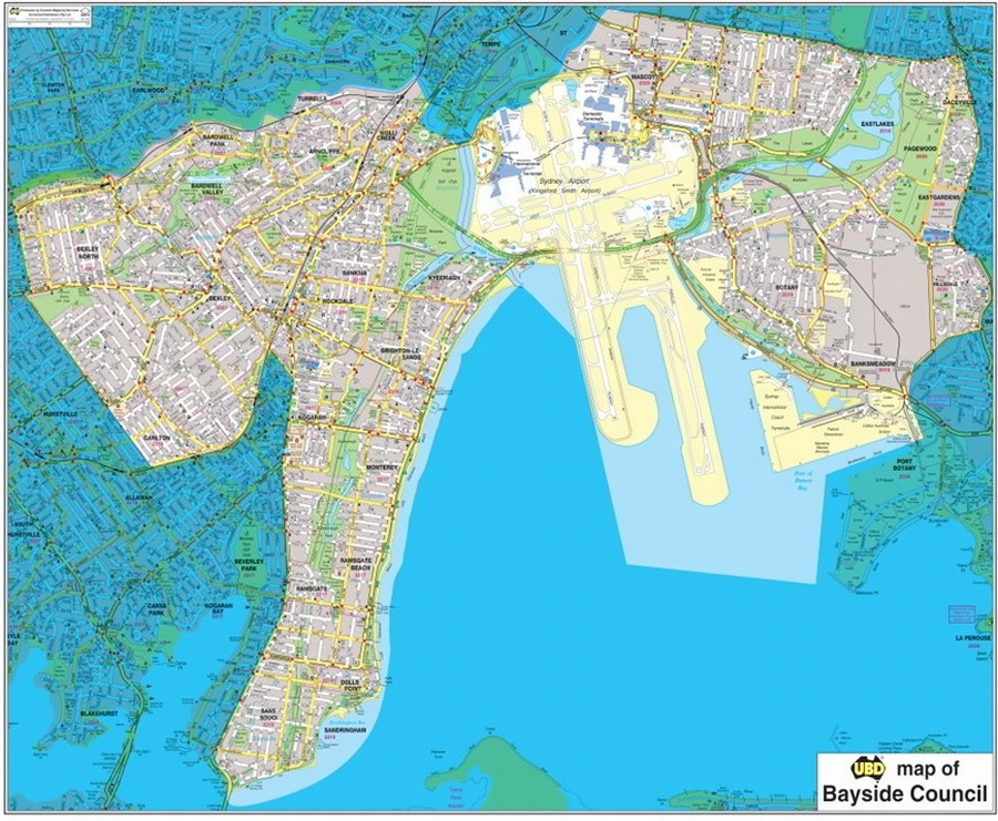
Bayside Council LGA Large Map 1:10k
The Bayside Council Local Government Area (LGA) Map is based on the UBD-Gregory’s Sydney 2017 Street Directory and the new Bayside Council LGA boundary proclaimed on 09 September 2016. Symbols such as hospitals, post offices, schools, service stations and shopping centres all appear.
- Scale of 1:10 000, Size: 1230 x 1005mm
- New LGA boundary as proclaimed on 09 September 2016
- Latest street detailed map
- Also available as 1:15 000, Size: 820 x 700mm
$0.00
Available Options
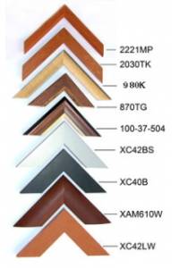
Laminated Wall Map $395.00
Hang Rails $491.00
Aluminium Frame 10mm $899.00
Aluminium Frame 35mm $869.00
Wooden Frame $1,085.00