
The Otway Range
Using photography, track notes and mapping, the Outback Travellers Track Guide is a companion to sheet maps, offering a closer look at what is out there, where to find it and how to get there safely.
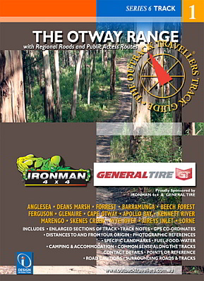
The Otway Range is a beautiful natural forest & bushland paradise that has attracted 4 wheel drivers for decades. Although the tracks are not as hard core as they once were, they still provide great 4 wheel driving, particularly tracks like Denhams,Cowley and Harvey are well worth giving a go. Being close to major towns like Anglesea, Aireys Inlet, Lorne, Apollo Bay and Colac, makes venturing into this area advantageous. The range is cris-crossed with major roads that enable access to all these tracks, if gates are open. The pristine, dense vegetation of fern trees, eucalypts and lush undergrowth intersected with creeks, rivers and waterfalls offer weeks of exploration to experience and tests your ability at driving this magnificent area of Victoria.