
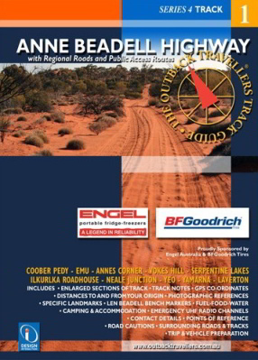
Anne Beadell Highway
Using photography, track notes and mapping, the Outback Travellers Track Guide is a companion to sheet maps, offering a closer look at what is out there, where to find it and how to get there safely.
The Anne Beadell Highway was named by Len Beadell, after his wife's name, Anne. The track has become very rough with fearsome corrugations which have broken many 4WD springs and completely ruined many shock absorbers. The track runs from Coober Pedy to Laverton venturing through conservation parks and Aboriginal Land. Part of this area is the British Atomic Test site during the 1950's at Emu where two atomic bombs were exploded. The area is still barren. There are numerous small dunes to cross, interesting history and sites at Anne's Corner, Volkes Hill Corner, Serpentine Lakes and the border. Ilkurlka roadhouse is a welcome rest point offering a hot shower, supplies and fuel, with an aircraft wreck not far away, followed by Neales Junction. Len's markers and signs offer intriguing points of interest and a guiding path along the track.